0
C-MAP 4D LAKES NA-D072 NORTH CENTRAL
$179.00
C-MAP 4D Lakes NA-D072 North Central
Description
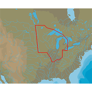
4D Lakes NA-D072 North Central
C-MAP charts have long been held in high regard by boaters because they combine aesthetically pleasing vector electronic charts with reliable sources. When buying C-MAP boaters can be assured that the charts they are getting are of the highest standard.
C-Map 4D will provide boaters with charts packed additional features such as raster chart views or Satellite images* to maximize situational awareness.
Coverage Area:
Lakes and major rivers of North Central region of USA including states of: Minnesota, Wisconsin, Michigan, Iowa, Illinois, Indiana. Includes coverage of Lake Michigan, Lake St. Clair, portions of other Great Lakes.
Additional information
| Weight | 0.2 lbs |
|---|---|
| Dimensions | 8 × 5 × 1 in |
Only logged in customers who have purchased this product may leave a review.
Related products
-
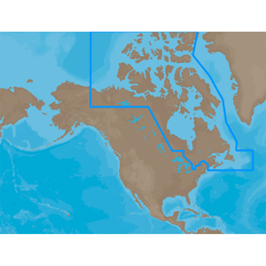
C-MAP NA-M021 C-CARD FORMAT CANADA NORTH AND EAST
$279.00 Add to cart -
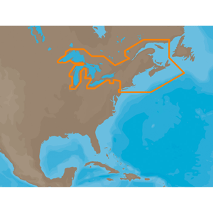
C-MAP NA-M026 C-CARD FORMAT GREAT LAKES AND THE MARITIMES
$279.00 Add to cart -
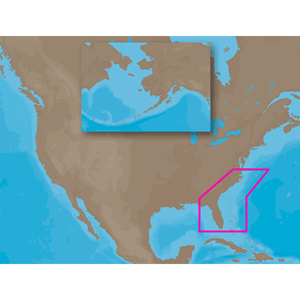
C-MAP NA-M321 SD CARD FORMAT CAPE HENRY NC-APALACHICOLA FL
$279.00 Add to cart -
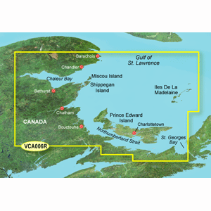
GARMIN VCA006R PEI TO CHALEUR BAY BLUECHART G3 VISION
$349.99 Add to cart
Reviews
There are no reviews yet.